Actively suggest and evaluate locations for charging stations
e-locate
With e-locate, you actively involve citizens to identify and evaluate desired locations for charging stations. With e-locate, you enable the suggestion and evaluation of locations, offer a simple feedback option, ensure transparency in the evaluation and acceptance of suggestions, create trust in the planning of charging stations, identify the potential for more electromobility and promote public acceptance.

Process
How does e-locate work?
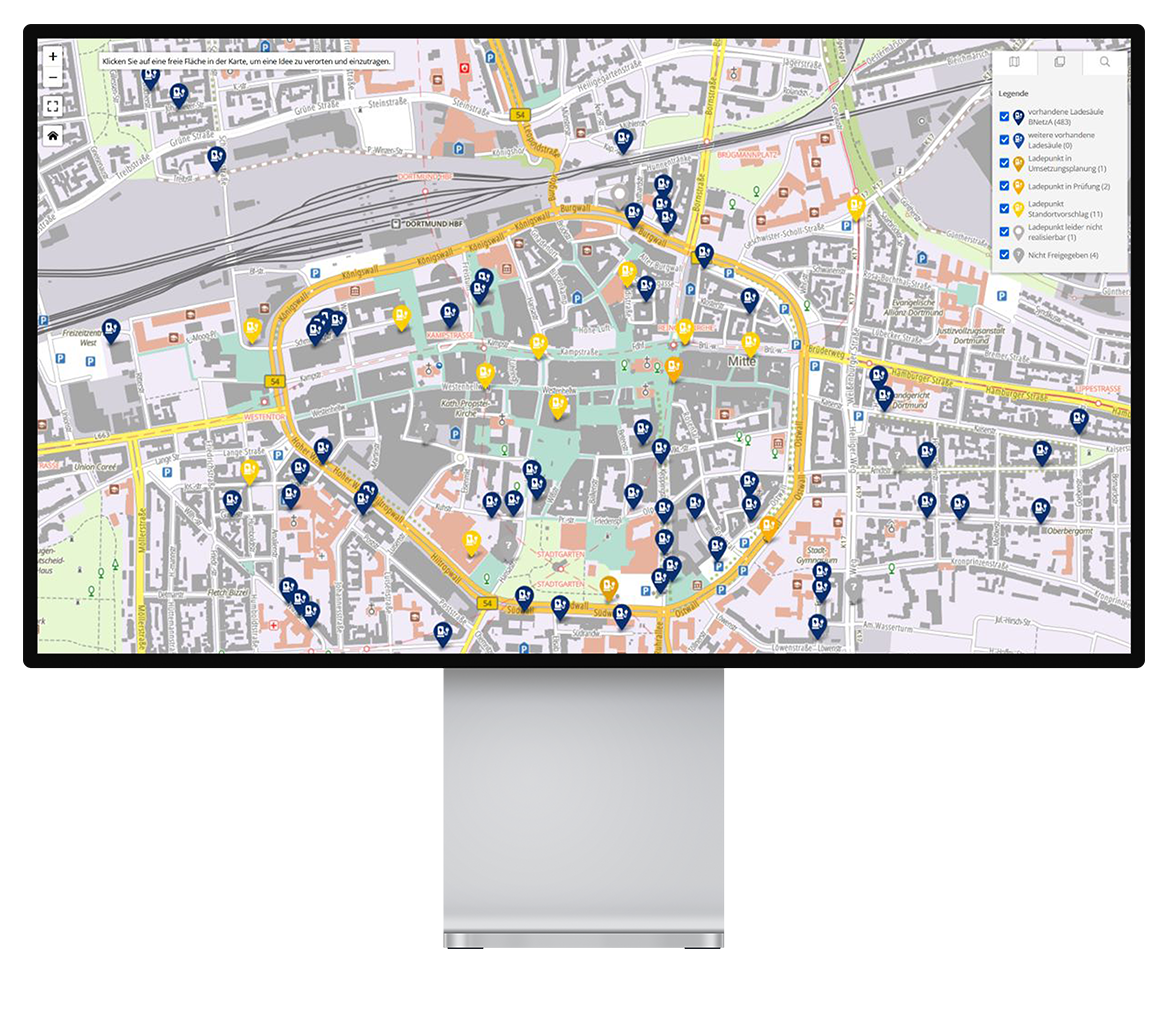
Interactive map
The easily accessible and intuitive map applications, together with well-structured methods, enable active participation by citizens. Ideas and suggestions are very welcome. They can be incorporated into your planning.
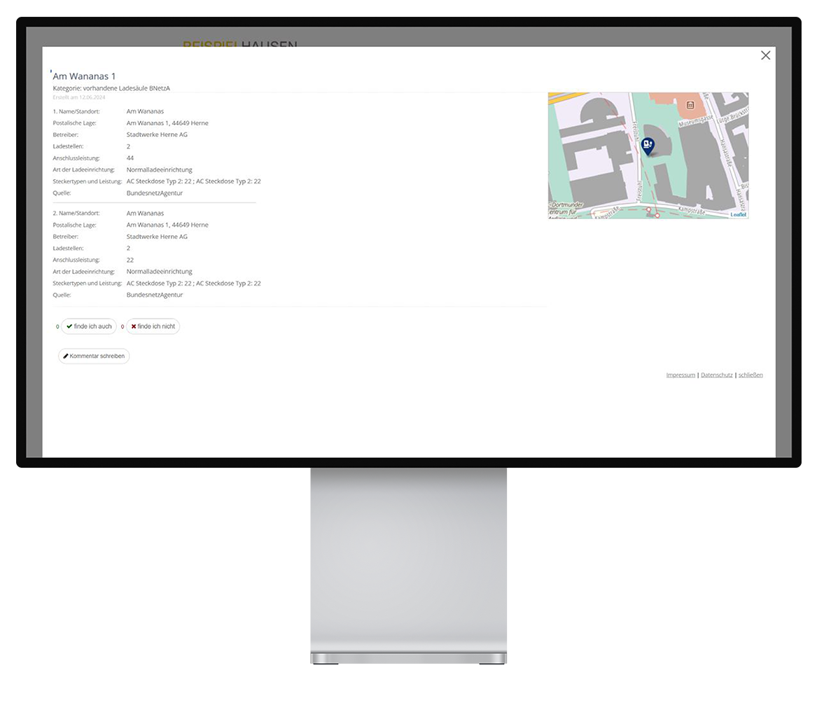
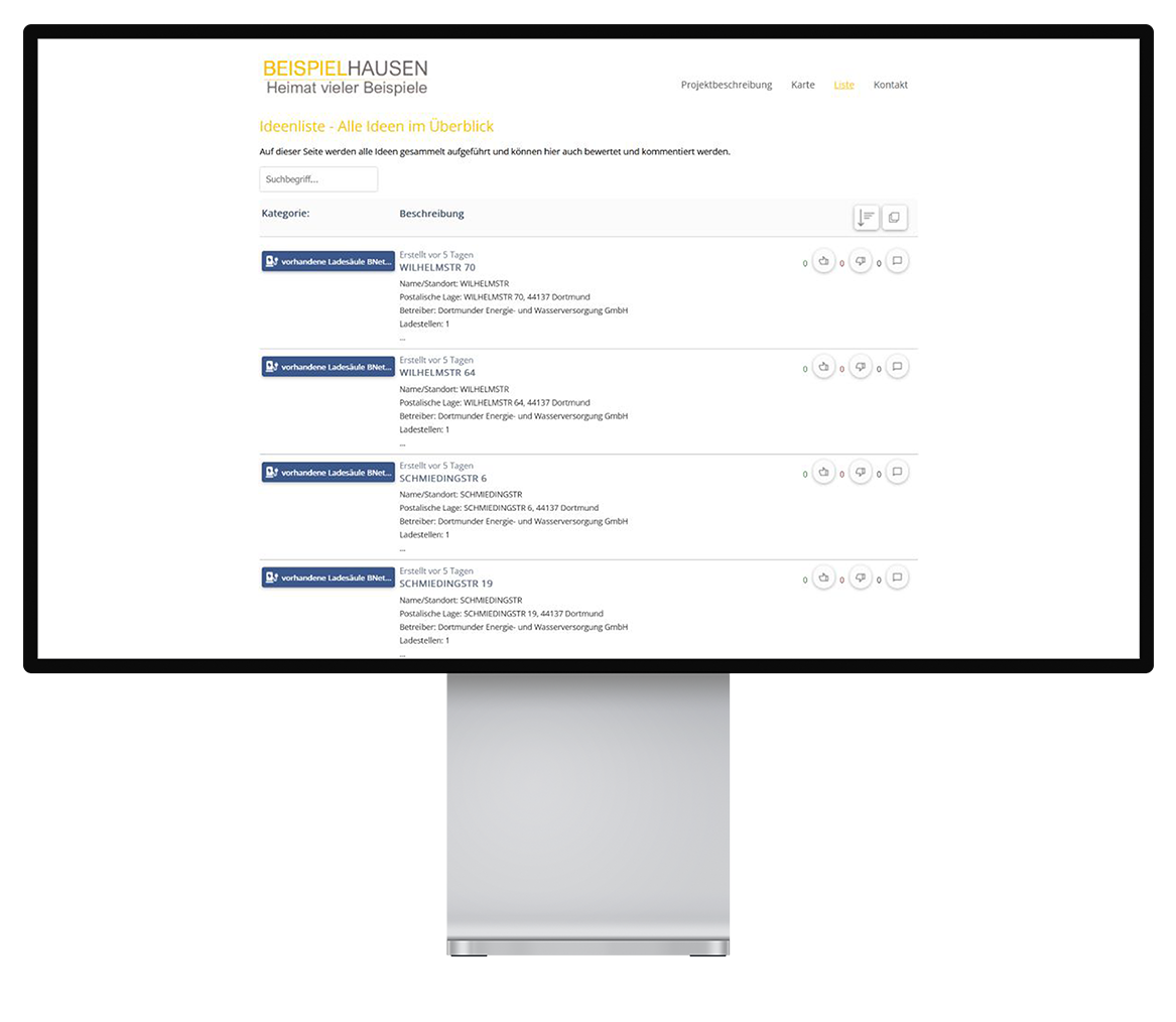
Evaluation and commentary
Users can also rate and comment on the suggestions. The transparent presentation of ratings for inclusion in your planning or perhaps even rejection of the suggestions creates more trust.
Transparent communication
With e-locate, we offer you a system for transparent and successful communication with your target groups. At the same time, it provides the basis for successful public relations work.


Advantages
Use e-locate for further advantages
- Start a campaign with companies to find possible locations for charging stations in employee parking lots
- Offer e-locate as a service for companies to strengthen employee loyalty.
Your benefit: You successfully tap into additional strong target groups for the expansion of e-mobility.
- With e-locate, you have the best prerequisites for cost-effective infrastructure planning. With the clear and structured result of the participation, the concept and communication for more electromobility succeed on a secure and standardized basis.
- As experienced experts in high-precision geodata and online participation solutions, with e-locate we offer you the best conditions for successful citizen participation in the planning of charging stations in your sales area.
- With e-locate, you are relying on a future-oriented participation solution that greatly improves the expansion of e-mobility. Discover now how you can drive this topic forward together with us.
Do you have questions about the product?

Account Manager
Answers to frequently asked questions
Frequently asked questions
The charging point register of the Federal Network Agency is imported. This contains all registered, publicly accessible charging points.
All ideas and suggestions are collected in the administration portal. Here you have the option of adding ideas received by letter or e-mail. The data can be exported quickly and easily for further analysis using Excel and PDF export. With the help of the coordination in the export and the shapefile, you can then create your own maps. The web statistics also provide an overview of the access statistics.
Entries and comments are initially approved by the administrators. This ensures that communication takes place in an objective manner.
Once the entries have been approved by administrators, it is possible for users to communicate with each other. They can write comments on other users’ location suggestions or rate them in the form of likes or dislikes.
An introduction to the product is not necessary before using it for the first time. The clear and user-friendly presentation makes it easy for first-time users to get started. This ensures that a diverse group of users provide feedback and participate in the location search. If required, an explanatory text can be added to the website on which the iFrame is integrated.
Your question has not been answered?
Our products
Discover more products
With the following products, we support our customers in intelligently tapping energy potential and using it effectively – for their own sales and turnover.
Contact us
Get to know us!
Do you have any questions about our products or would you like to find out more about the company? Please feel free to contact us!